Which way is the weather going to go.
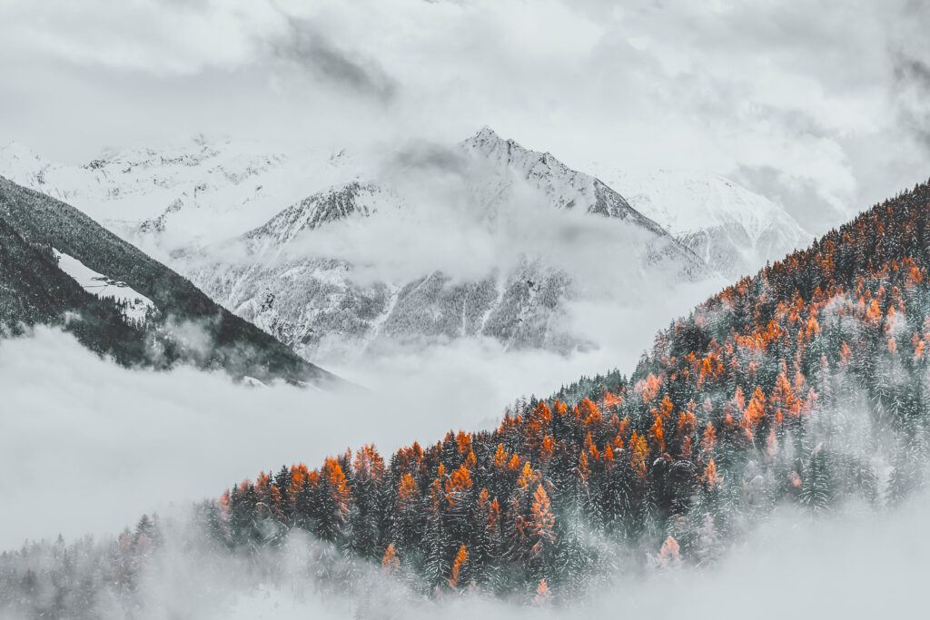
I like this time of year. Sure it’s to do with the constant reminder that winter is fast approaching. All the snowboard videos being released, getting to talk holidays plans with our guests and as always trying workout what sort of winter we are going to have.

For a change I have been in the UK this summer and autumn and as of today it doesn’t much feel like winter is as close as it actually is. It’s still pretty warm outside (even if rather wet, or it certainly is in the midlands), the grass is loving it and we’ve still got flowers in the garden. Though winter temperatures have been talked about in the press far more than usual, yet don’t think we’ve even had a frost yet.
OK, the talk is in reference to how much energy we are all going to need this winter to heat our homes, but I can assume that as a skier you are paying attention to those news articles with a slightly different take. The question is, are headlines of cold snaps and potential of colder than average winter, just attention grabbing headlines playing on peoples fear of elevated heating costs, or are they based in truth. From my wander through the internet and the usual sources of long range weather data, the short answer is no one knows. Weather predictions, long range ones at least, are usually based on looking at the current behavior of the various weather systems and trying to find similarities or analogues in times past and seeing what weather followed back then. Make an average of those previous examples and you have a prediction.
The one thing everyone can agree on is that the weather is becoming more erratic and thus less predictable. This has been extremely evident in the alps these last few years, with some storms bringing a temperature shift of over 20 degrees in 24 hours. Although this can mean some great snow falls, they are often followed or preceded by rain, which is never a good look.
One weather event that made the headlines through September was La Nina, along with speculation as to what it would mean for the UK’s winter. La Nina is the colder phase of the ENSO (El Nino Southern Oscillation) El Nino being it’s warmer counterpart. It made the news as it is going to be a triple dip La Nina, which means it’s been in it’s cold phase for 3 years straight, which is pretty rare, this being only the third time in the 73 years since it has been recorded.
Although this has some pretty predictable effect on the winter in North America (Head north, Whistler and Revelstoke had well above average snowfall last year of 10.6m and 8.35m respectively), its effects on Europe are far less direct. The ENSO can have an effect on the Atlantic Multidecadal Oscillation, which in turn can affect the Nort Atlantic Oscillation. The effects of the two systems tend to either work in harmony or cancel each other out. For this winter they are likely to cancel each other out and any effect from La Nina is likely to be insignificant.
The North Atlantic Oscillation, is one of the biggest influence on our weather as it pushes the jet stream up and down. The NAO is currently in a week positive phase (Negative is good for colder but dryer weather) which although it has been fluctuating recently, has not been doing so with much enthusiasm.
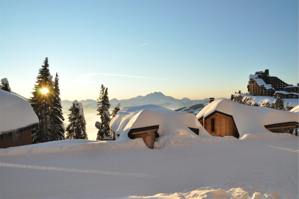
Really what I can gather is that there are no real obvious influences towards any extremes and what we are looking at will be an average winter. Which in itself doesn’t sound that exciting, but there are resorts that have opened stateside. There has been snow in Europe, it’s not hanging around below the glaciers, but that’s all normal. Temperatures are dropping and things are on track to open mid December. In my mind, average means places that usually have snow will have snow. Avoriaz has on average 7.5 meters a year and is the snowiest resort in France. I’ll be happy with that.
